
Hinesville ZIP Directory Roles
Three codes appear in official Hinesville records, but they do not describe three equal residential neighborhoods. The Hinesville ZIP code directory must distinguish civilian delivery geography, Fort Stewart mail, and a government PO-box route. The labels below describe verified roles, not exact boundary polygons or resident counts. No authoritative local source published a complete ZIP boundary map or a ZIP-by-ZIP population split.
| ZIP | Verified role | Postal point | Search caution |
|---|---|---|---|
| 31313 | Principal civilian Hinesville delivery geography | Hinesville Post Office | Postal territory can extend beyond incorporated Hinesville |
| 31314 | Fort Stewart military and postal geography | Fort Stewart facilities | Do not treat it as an ordinary civilian neighborhood |
| 31310 | Used in official county-government PO-box mail | PO-box routing | No Census ZCTA was identified; do not infer a residential district |
The principal facility for 31313 is the Hinesville Post Office at 744 W. Oglethorpe Highway, 912-876-5086. Verify current services through the official USPS location page. County offices may use 31310 even though the office itself sits in Hinesville, while an on-post address points toward Fort Stewart procedures and federal geography.
The USPS ZIP Code Lookup shows how the official city-and-state query works.
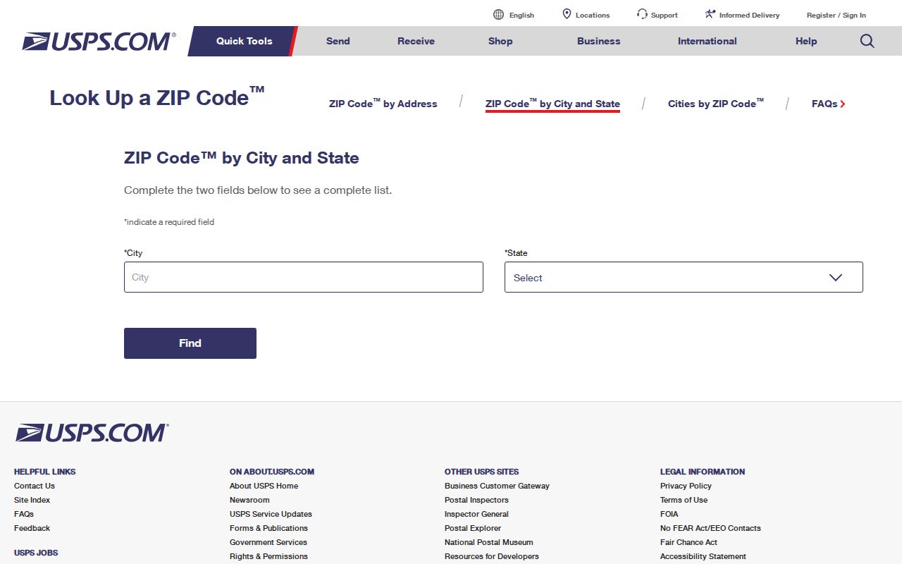
The result should be treated as delivery coding. USPS does not certify who occupies an address or whether the parcel is within city limits.
Hinesville ZIP 31313
Code 31313 is the main civilian postal label associated with Hinesville. It is the best broad starting point when a record supplies only a city and ZIP, yet it remains too coarse for a reliable resident list. A street address still needs standardization, and a parcel still needs a tax district. Corner parcels, vacant land, and sites outside the municipal line can all carry postal wording that looks local.
The local property systems do not offer a verified ZIP-only census of parcels. Liberty County tax search accepts Name, Bill, Company, Parcel, and Address modes, while the parcel service schema does not expose a ZIP field. GSCCCA describes address and map searching but does not promise ZIP enumeration. Accordingly, a Hinesville ZIP code directory can explain geography and route a lookup, but cannot truthfully display everyone in 31313.
The official post-office detail page confirms the Hinesville facility and gives a sound source for current hours and services.
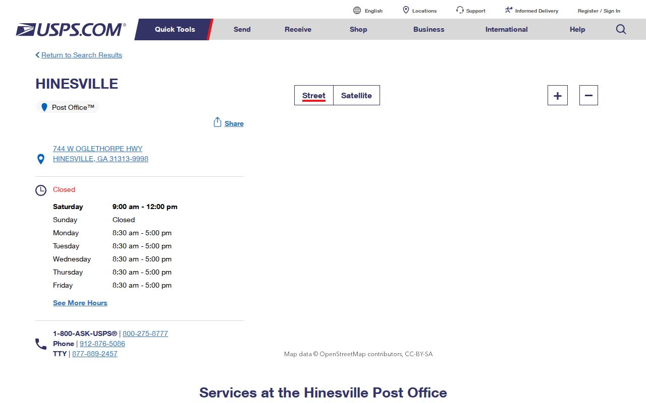
After postal verification, use the exact address in county parcel records rather than assuming the ZIP defines the jurisdiction.
Hinesville ZIP 31314 Layer
Code 31314 signals Fort Stewart geography associated with Hinesville. The distinction is more than a mailing detail. Fort Stewart is a military installation, and its addresses should not be read as a standard civilian subdivision inside the city. Military-connected households may also move more often, use on-post mail, or occupy a civilian address while the parcel owner is someone else.
When 31314 appears, first confirm the standardized delivery address. Next identify whether the record belongs to the installation, Liberty County, or the City of Hinesville. County deeds and county court files remain county records, but municipal permit and code jurisdiction depends on the city boundary. Do not infer a household from a parcel owner, mailing recipient, or voter record alone.
Key distinction. A ZIP describes mail delivery; it does not prove residence, parcel ownership, or Hinesville city jurisdiction.
Search Hinesville by ZIP
Finding a person within one ZIP requires a staged search because no verified Hinesville portal enumerates all residents by code. Begin with a full address whenever possible. If only a name and ZIP are known, use lawful official records to develop an address, then verify that address independently.
- Enter the complete street address in USPS lookup and copy the standardized city, state, and ZIP.
- Search the Liberty tax portal by the standardized address, then record the parcel or PIN and tax district.
- Open PRISYM or Hinesville GIS to confirm the parcel polygon and city-boundary context.
- Use the owner name and legal description in the deed index when ownership history matters.
- For lawful voter analysis, order the proper state file and follow its limits. My Voter Page is for a person's own identity-gated lookup, not block browsing.
Once the code has narrowed the place to a street, the Hinesville street directory explains the address-to-parcel chain in depth. ZIP lookup alone cannot identify renters, family members, nonregistered voters, or protected voters.
Hinesville ZIP Search Limits
The available field audit is as important as the fields themselves. It prevents a broad postal query from being presented as an official resident roll.
| Official source | Useful input | ZIP-wide mode | What it can establish |
|---|---|---|---|
| USPS lookup | Full address or city/state | Postal lookup only | Standard delivery format and code |
| Liberty tax search | Name, bill, company, parcel, address | No verified ZIP filter | Owner and parcel facts for a known result |
| Parcel service | Address, PIN, geometry | No ZIP attribute | Parcel location, owner, district, legal description |
| Georgia voter file | Ordered municipal or county data | Depends on delivered layout | Registered voters only, with protected addresses removed |
Georgia voter files may support sorting by residence address when the supplied layout allows it, but they are not a complete resident directory. Georgia does not register voters by party, and participation data does not show ballot choices. VoteSafe removes qualifying protected addresses.
Note: No official per-ZIP resident count, split history, or comprehensive Hinesville ZIP boundary file was verified in the research.
Hinesville ZIP Versus Limits
Hinesville added 1,931 acres effective November 1, 2024. That municipal change did not require postal routes or old deed descriptions to change. A parcel may keep its ZIP and county land history while responsibility for city permits, code files, and some municipal matters shifts. For a record spanning the effective date, inspect the annexation map and ask both city and county custodians.
Use the parcel Tax_District field and city boundary layer to test jurisdiction. The city GIS office issues new city addresses, verifies existing ones, and reviews street names. County E911 assigns physical addresses to structures; empty parcels receive no address, and a removed structure's address becomes invalid. Existing-structure address help is available at 912-368-3911.
- ZIP
- A USPS delivery code, not a city boundary or resident roster.
- ZIP+4
- A more precise delivery segment appended to the five-digit code.
- PO-box routing
- Mail directed to a box rather than proof of a residential area.
- Carrier route
- A postal delivery path that can cross political boundaries.
Hinesville's 2024 ZIP Puzzle
The annexation is the strongest local example of why postal Hinesville and legal Hinesville are not interchangeable. For events before November 1, 2024, a newly added parcel may have county permit or code records. Later events may belong with city custodians. Deeds still run through the Liberty County Clerk, and county court jurisdiction does not turn on the ZIP label.
Hinesville Municipal Court covers matters inside its statutory city jurisdiction, not every address using Hinesville mail. The Municipal Court page is the official starting point for that channel.
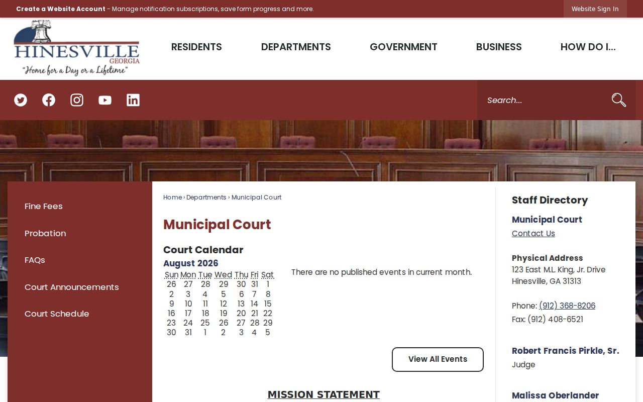
The court page reinforces the need to confirm city limits before directing a municipal-record request.
Verify Hinesville ZIP Results
Keep each conclusion as narrow as its source. USPS can confirm delivery coding. The tax roll can identify a recorded owner and parcel. GIS can show approximate parcel and district context. A deed can establish an indexed land transfer. A lawful voter file can show listed registered voters, subject to protections. None proves every person living at an address.
The safest Hinesville ZIP code directory workflow retains the standardized address, parcel ID, map date, tax district, and source date. If two systems disagree, contact the custodian rather than blending the records. Address questions go to city GIS or county E911, assessment questions to the Liberty Board of Assessors, payment questions to the Tax Commissioner, and certified land records to the Liberty County Clerk.
Use the records for lawful personal research, genealogy, civic review, and fraud prevention. Never use a ZIP-based search to monitor, threaten, or harass someone.
Route Hinesville ZIP Records
A verified ZIP and parcel district determine which office should receive the next question. The Liberty County Board of Assessors handles parcel mapping, assessed value, ownership display, and homestead questions. The Tax Commissioner collects taxes and answers bill or balance questions but does not set value. The Liberty County Clerk of Superior Court is custodian of deeds, liens, plats, and other recorded instruments. GSCCCA is the remote search gateway, not a replacement for the clerk when a certified image or indexing correction is needed.
City records require a more exact handoff. Hinesville GIS handles city addressing and map layers. Inspections handles permit, address, and code material, while the Clerk handles council, administrative, and business-license files. Municipal Court covers city traffic and ordinance matters within its jurisdiction. A narrow request should name the standardized street address, parcel or PIN, record type, and date range. Ask for inspection, electronic copies, or certified copies as needed. Requesting an existing electronic file avoids asking staff to create a new report.
The Georgia Open Records Act supplies a fallback when no searchable database exists. An agency generally needs a precise request for records it already maintains, not a demand to assemble a new Hinesville ZIP code directory. If the postal label and tax district disagree, attach both facts and ask the office to confirm custody. That small step prevents a request from being bounced between city and county desks.
For older land records, the same ZIP may be irrelevant. Carry the legal description into the deed index, since historical deeds may predate modern postal coding. Courthouse terminals, clerk staff, FamilySearch, and Georgia Archives microfilm extend the trail where a present-day ZIP search ends.