
Hinesville Neighbors by Source
No single public roll shows every person around a Hinesville address. Begin with parcel geometry, then use only the records needed for each adjoining lot. The lead table keeps results in separate evidence classes.
| Source | Block evidence | Access route |
|---|---|---|
| PRISYM and parcel GIS | Touching polygons, owners, address, legal description, acreage | Free map browse |
| Liberty tax search | Account and tax facts for one known parcel | Free, one search at a time |
| Deeds and PT-61 | Selected parcel transfers and parties | GSCCCA or clerk terminal |
| Georgia voter file | Registered voters when lawfully sorted | Paid file; VoteSafe removed |
| Neighborhood Watch | Program contact, not membership | HPD Crime Prevention |
| Permit and code files | Address-based history | Focused request |
An owner may live elsewhere, a household may rent, and several people can share one address. A homestead indication may support a primary-residence claim but still does not list every occupant. Keep each conclusion narrow: recorded owner, registered voter, or unknown occupant.
Map Hinesville Neighbor Parcels
PRISYM provides an Address Locator, Property Search, map layers, and navigation. Start at one verified address and zoom until parcel labels and boundaries are clear. The service schema includes owner name, property address, tax district, legal description, acreage, parcel numbers, and geometry.
- Normalize the subject address and select its parcel.
- Record PIN, map scale, owner, district, acreage, and legal description.
- Move clockwise and click each touching polygon, noting roads and common areas.
- Run tax DETAILS only for relevant parcel IDs and separate mailing from situs.
- Use deeds, plats, or a survey for any legal-boundary question.
The service supports geometry and distance queries, but no consumer radius button was verified. GIS lines are approximate. Corner parcels can use the cross street, vacant land may lack an address, and multi-unit land may be one owner parcel. The Hinesville street directory covers the full named-street method.
Hinesville Owners Aren't Occupants
The parcel schema verifies fields such as owner, property address, tax district, legal description, and acreage. It does not promise a household list. A mailing address only shows where the tax bill goes. An out-of-county destination can indicate remote ownership, while an entity or PO box gives no basis for naming an occupant.
Even when mailing and situs match, say only that records are consistent with owner occupancy. A renter, relative, military household, or other resident may never appear in the land roll. Deeds also show indexed parties and instruments, not all Hinesville neighbors on the parcel.
- Parcel
- A mapped unit of land with county identifiers.
- Situs address
- The physical property location.
- Mailing address
- The destination for tax mail, which may be elsewhere.
- Plat
- A recorded drawing of lots, boundaries, and roads.
Hinesville Block Voter Layer
Georgia's My Voter Page is identity-gated for a person's own status, polling place, districts, sample ballot, and officials. It is not for probing others on a block. A lawfully ordered municipal or county voter file may be sorted by residence address if its delivered layout supports that use.
The state charges $65 for a municipal list and $70 for a county list under the schedule effective July 1, 2024. Files arrive by email, with two weeks stated processing and no custom or expedited orders. A list includes registered voters only. Georgia has no party registration, and participation does not disclose a ballot choice.
VoteSafe withholds qualifying protected addresses for four years. Sensitive identifiers are not public. Never merge a voter with an owner just because name and address look similar.
| Method | Strength | Limit |
|---|---|---|
| Official parcel roll | Owner and land facts | Not all occupants |
| Official voter file | Registered-voter presence | Protected and nonregistered people absent |
| Commercial neighbor category | Combines data feeds | May be stale, merged, or wrong |
Hinesville Neighborhood Watch Contact
Hinesville says Neighborhood Watch groups operate in many areas, but it does not publish current group names, boundaries, or members. Old counts from 2005 and around 2012 are not a current inventory. No verified official HOA or neighborhood-association list was found, so association names must not be invented.
Neighborhood Watch
Office: Hinesville Police Crime Prevention
Phone: 912-368-8211
Use: Ask about public participation or starting a program. Do not request a member roster.
The official Neighborhood Watch page is the verified community contact.

The source confirms a program, not private membership. Chamber and congregation lists name public organizations, not households.
Request Hinesville Block Files
Permit and code files can add dated evidence for selected addresses, such as construction, remodeling, demolition, owners, applicants, or contractors where public. Hinesville has no verified searchable permit or code database. Use the city request channel with an exact address, parcel, record type, and date span.
Land added to Hinesville effective November 1, 2024 complicates the custodian choice. A parcel may keep its ZIP while permit responsibility changes. Ask both city and county offices for a span crossing that date. Deeds remain with the Liberty Clerk.
The official Magistrate filing portal is chiefly for filings, not a proven neighbor name index.
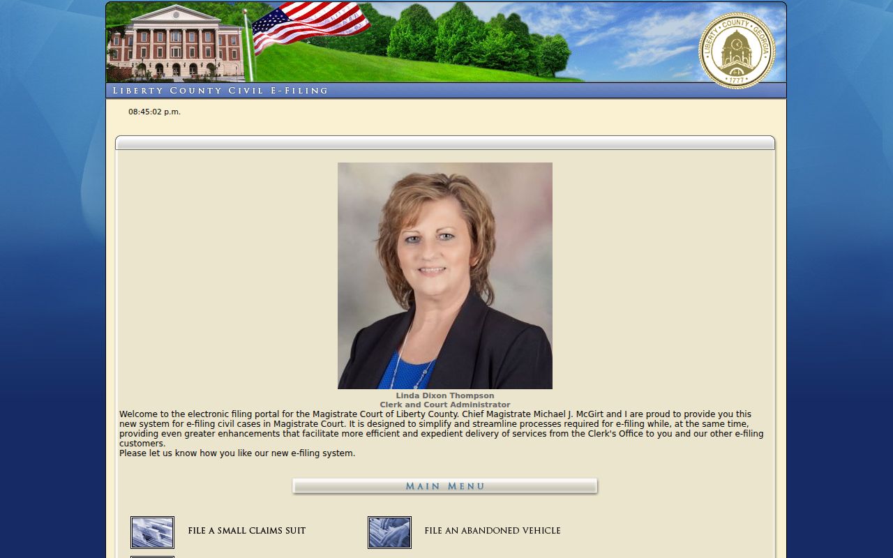
Do not treat a filing screen as proof that a party lives nearby. Verify the file and address context with the custodian.
Verify Hinesville Block Facts
A sound block inventory preserves map date and scale, parcel IDs, and whether a road or common parcel separates each lot from the subject. It distinguishes recorded owner, registered voter, and unknown occupant.
When map and deed geometry differ, use a deed, plat, or survey for the legal boundary. Ask Assessors about value or owner display and the Tax Commissioner about bills. A correction request should name the portal, parcel number, disputed field, proof, and desired correction.
City and county roles also affect a block record. Hinesville GIS maintains streets, addresses, buildings, zoning, flood, and district layers, plus archived aerial views from 1996, 2006, 2009, 2013, and 2018. Those layers can show that a site or road changed, but they still cannot name the people present at the time. County E911 gives physical addresses to structures, so a vacant parcel may have no address and a demolished building's number may stop being valid.
Use the legal description when a vanished address breaks the trail. A subdivision lot and block, acreage, or metes-and-bounds description can connect the current parcel to older deeds. Adjoining-owner calls can help when modern roads do not match the earlier record. This level of work belongs to the few parcels touching the subject, not an unsupported sweep of an entire ZIP or city.
For a current question, save a dated screen or record the source fields. For an old question, add the relevant deed, aerial, permit, or directory date. Clear sourcing protects Hinesville neighbors from being confused with people who owned the same land years earlier.
Note: A public map supports civic and personal research, but it does not authorize surveillance or publication of sensitive details.
Protect Hinesville Neighbors' Privacy
Utility customer names, motor-vehicle addresses, private delivery data, and full household lists are not ordinary parcel fields. The federal Driver's Privacy Protection Act restricts DMV data. Georgia law protects listed identifiers and some government personnel contact details, while VoteSafe shields qualifying voter addresses.
Official sources change. Keep the date and verify key facts with the office that owns the record. Commercial tools may merge owner, voter, and purchased data, but that does not cure stale or mistaken attribution.
Lawful use. Research Hinesville neighbors for civic curiosity, community contact, reconnecting, or personal safety. Never watch, threaten, intimidate, or harass anyone.
Hinesville Neighbor Request Channels
When the map does not answer a dated question, direct the request to the custodian that created the file. Hinesville Inspections is the likely city contact for permits, address assignments, and code material. Police Records handles incident and accident requests, subject to exemptions and redaction. Municipal Court handles city traffic and ordinance dispositions. The City Clerk covers council, administrative, and business-license records. City Hall's general contact is 115 E. M.L. King Jr. Drive, 912-876-3564, with fax 912-369-2658.
State exactly what is wanted: inspection, an existing electronic copy, or a certified copy. For a block question, list only the selected addresses or parcel IDs, the record type, and a bounded date span. Agencies need not create a new neighborhood roster. A precise request for existing permit data or code files is more likely to reach the right division and reduces the chance that unrelated personal details are swept into the result.
County records follow their own routes. Assessment or GIS display questions go to the Board of Assessors. Recorded deeds and plats go to the Liberty Clerk, with GSCCCA for remote index access and courthouse terminals as a fallback. A deed may explain a recorded owner or easement but still cannot identify all neighbors occupying the land. Certified boundary proof comes from the recorded plat, deed, or survey, not the approximate parcel map.
The Georgia Open Records Act does not turn private association membership into a public roll. Neighborhood Watch contact is for public program information and participation. Member names can reveal safety practices and were not promised as public. Keep community outreach separate from records research, and never publish a list that an official source does not provide.