
Walk a Hinesville Street
An address search can establish ownership, parcel boundaries, land descriptions, recorded transfers, and some civic links. It cannot produce a complete list of occupants. Start with the Liberty County tax search. The result supplies the parcel key that connects the Hinesville street directory to maps and recorded deeds. Keep the property address separate from the owner's mailing address.
- Choose Address in the tax portal and enter the street. Open the closest exact result.
- Copy the parcel number, owner name, situs address, tax district, acreage, and legal description.
- Open the parcel map, locate the yellow parcel boundary, and inspect nearby parcels on the same road.
- Carry the owner and legal description into the GSCCCA deed index. Find the acquisition deed and prior party.
- Use voter data, permits, probate, or older directories only for the specific extra fact each source can support.
This address-to-parcel-to-deed sequence avoids a common error. A street number may change or disappear, but the parcel and legal land description can persist. The voter roll lists registered voters only, and the assessor lists owners rather than every resident.
Search Hinesville Tax Addresses
The tax portal requires a tax year and offers Name, Bill Number, Company, Parcel, and Address modes. In name mode, a surname can start with or contain the entered text, and the first name goes in a separate optional box. Results show a property description, account, parcel, year, billing year, bill number, total tax, and balance. The details link opens more of the property record.
| Field | Input | Street directory use |
|---|---|---|
| Tax Year | Required dropdown | Select the record year |
| Search By | Name, bill, company, parcel, address | Choose Address for a street |
| Search | Up to 50 characters | Enter the street text |
| Optional Search | First name in Name mode | Narrow an owner |
Official assessment cards and notices use a PIN endpoint. See the Liberty official assessment documents page before following a PIN link.
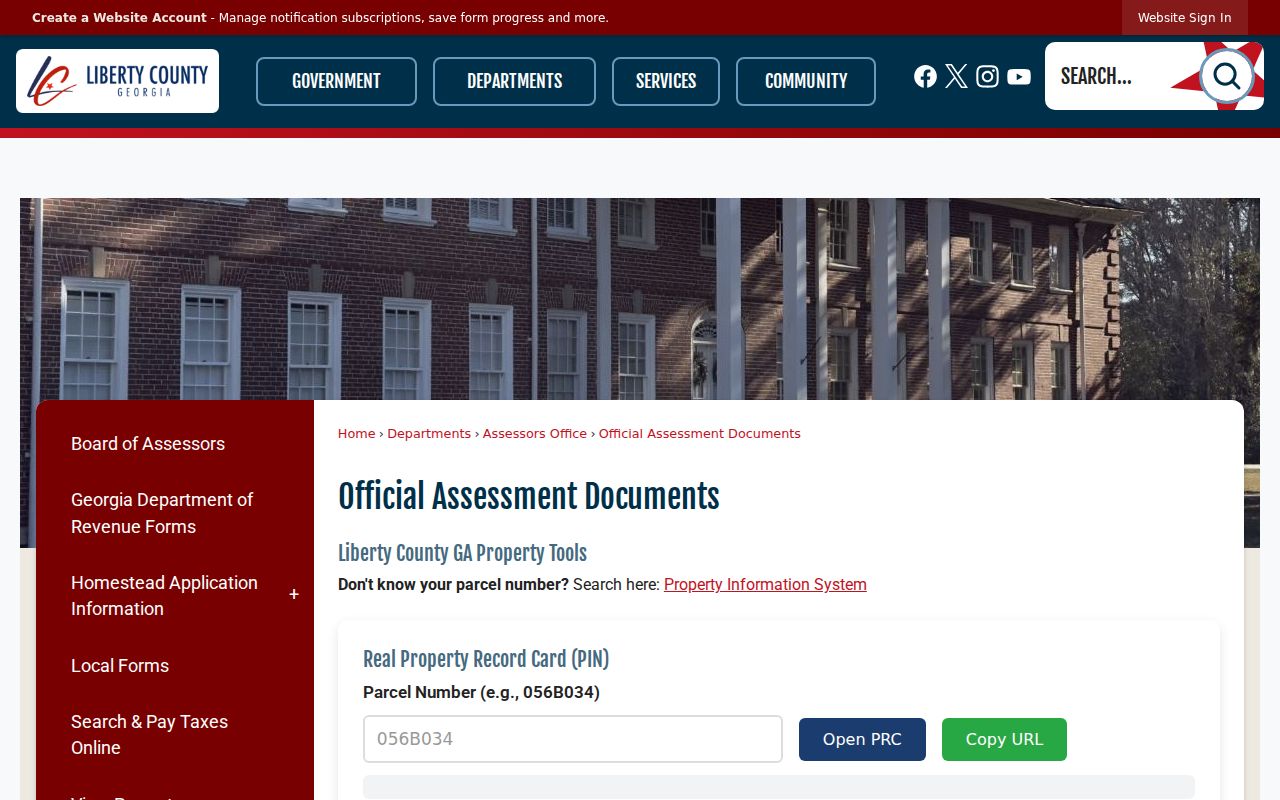
The page distinguishes official county assessment material from third-party address claims.
For office help, the Liberty County Board of Assessors is at 112 N. Main Street, first floor, and can be reached at 912-876-3568.
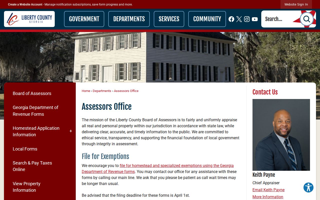
The office is the custodian to ask about a parcel field or assessment document, not about unlisted occupants.
Map Hinesville Street Parcels
The county parcel service exposes owner name, property address, tax district, legal description, acreage, PIN, and other parcel identifiers. The PRISYM interface provides Property Search, Address Locator, Map Layers, navigation, and an overview map. Search the address, zoom to the parcel boundary, click the subject lot, and then inspect the adjoining polygons. That gives the Hinesville street directory a visual order that a text result list lacks.
City GIS adds streets, addresses, buildings, zoning, flood information, districts, and aerial images from 1996, 2006, 2009, 2013, and 2018. The public parcel feature service is read-only and limits a response to 1,000 records. It supports pagination and spatial queries, but users should verify mapped facts with the office before relying on them.
The Hinesville GIS and addressing page explains the city's map role.
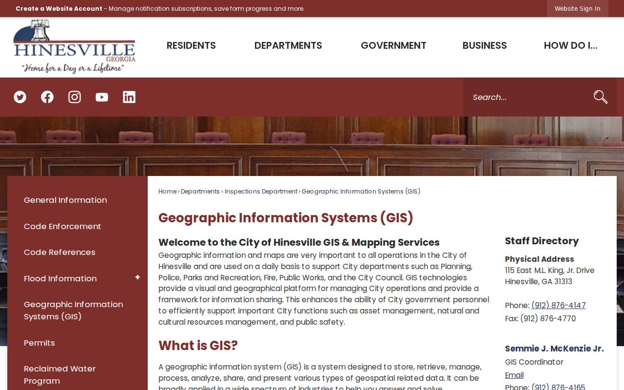
The city layers help check whether an address falls inside Hinesville and which local records office is likely to hold its permits.
Carry Hinesville Parcels Into Deeds
Move the owner name, subdivision, lot, block, and legal description into the GSCCCA Real Estate Index. Search the current owner as a grantee, meaning the party who received the interest. Open the acquisition deed, record the grantor, date, book and page, prior-deed reference, and legal description. The grantor is the party who gave or sold the interest.
Guaranteed statewide online coverage begins January 1, 1999, but Liberty County's exact earlier web cutoff is not published. Summary access is limited. Regular image access is $14.95 per month per user, and premium access is $29.95. A courthouse terminal is the free fallback. Clerk history documents an image project back to 1976, while FamilySearch deed images cover 1777 to 1920 and the deed index reaches 1958.
- Plat
- A recorded map showing lots, boundaries, and related land detail.
- Legal description
- The land wording used to identify the property in a deed.
- Criss-cross directory
- A book arranged by address or phone rather than only by surname.
Hinesville Permit Address Trail
Construction, additions, demolition, driveways, fences, signs, pools, and major system work require city permits. No public permit or code index by address was verified. Request the existing history with an exact address, parcel number if known, permit type, and date span. Applications go through the City of Hinesville inspections office at 115 E. MLK Jr. Drive or by the contact shown on the official permits page.
Code Enforcement also creates address-linked files while checking rotating city map grids for overgrowth, junk, inoperable vehicles, missing numbers, parking, visibility, and right-of-way issues. A file may date a property event, but complainant details and protected material can be redacted.
Review the Hinesville permits page before making a focused request.
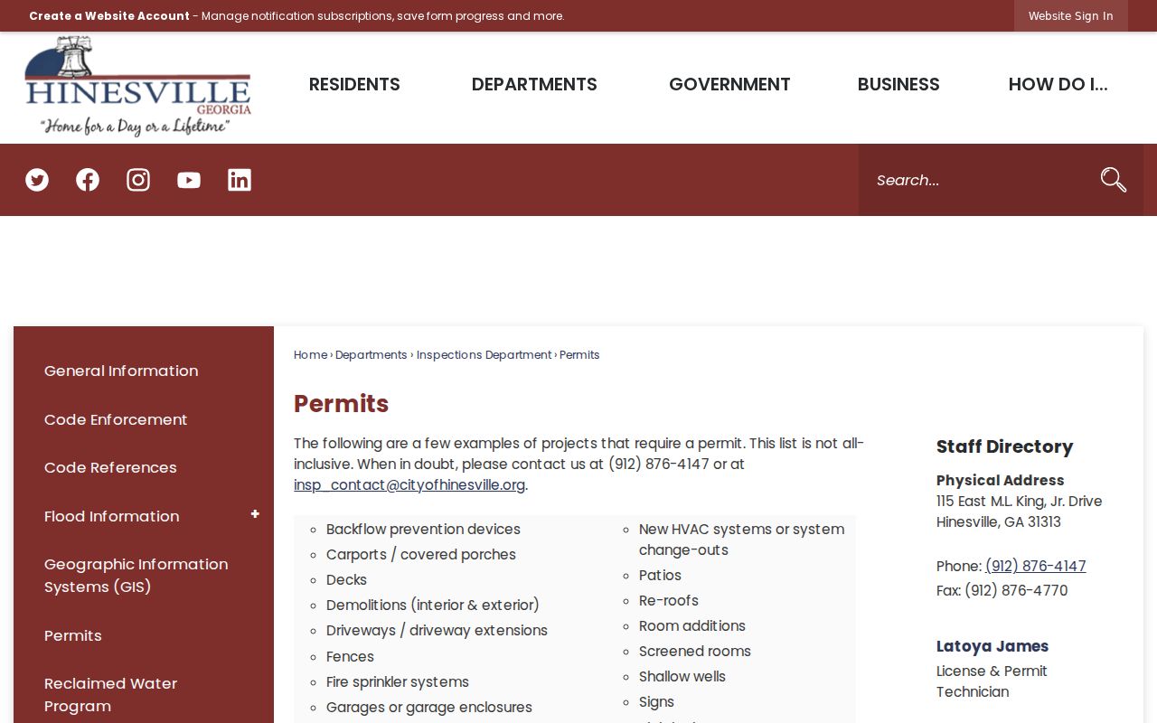
The listed permit types help the requester name an existing file instead of asking the city to create a new report.
Hinesville Street Record Coverage
Five official layers can contribute to a search by address. They differ in coverage and meaning. The street directory should preserve those differences rather than merge them into a single household claim.
| Record Set | Keeper | What It Shows | Access |
|---|---|---|---|
| Property and tax | Liberty County | Owner, parcel, property and mailing address | Free portal |
| GIS parcels | County and city GIS | Boundaries, tax district, acreage, land description | Free viewer and service |
| Deeds and liens | Superior Court clerk | Transfer parties, instrument, book and page | Summary, account, or terminal |
| Voter data | Georgia SOS | Registered voters and residence addresses | Personal portal or paid list |
| Permits and code | City of Hinesville | Address-linked work and enforcement events | Direct request |
The parcel identifier joins the tax roll to the map. The legal description joins the parcel to deeds, even if the street number later changes. City files use the address and date range. Voter records are a separate residence clue, not a property record.
Georgia My Voter Page is built for an individual to check registration, districts, polling place, and sample ballot. It cannot browse a Hinesville block. State voter lists can be ordered in municipal, county, district, or precinct products and may be sorted for lawful analysis, but they still identify registered voters only. VoteSafe withholds qualifying protected addresses for four years, and sensitive identity fields never belong in a public street directory.
Hinesville Mailing Versus Situs
The situs address is where the parcel lies. The mailing address is where the owner receives tax mail. They may match, but a match still does not prove that every household member is listed. A mismatch may identify an owner who lives elsewhere, a mailing preference, or an entity address.
Use the owner name to search deeds and the property address to search city files. Keep both in notes. Treat homestead information, if present, as evidence of a claimed primary residence, not proof of every occupant.
A whole-street query may also return partial names and nearby roads. Compare the ZIP, parcel map, and legal description before adding an entry to the working list. If an address cannot be found, try the street without a suffix, check city addressing data, and search by parcel or owner. Do not invent a corrected street number from an old directory entry.
Hinesville Street Boundary Change
An annexation effective November 1, 2024 added 1,931 acres to Hinesville. Postal names and ZIP Codes did not become identical to the city boundary. Fort Stewart's 31314 geography, civilian 31313 routes, and the county's 31310 post-office-box mail further complicate a quick address assumption.
Check the tax district and city GIS boundary before requesting permits or municipal code files. County parcel and deed records remain county sources, while the city clerk handles Hinesville administrative files. This boundary check is a key street directory step.
Note: A Hinesville mailing address can fall outside the city, so verify jurisdiction before choosing the custodian.
Hinesville Filing Alerts
Liberty County property owners can enroll in Georgia's free Filing Activity Notification System, known as FANS. It sends notice of filing activity tied to registered search terms. The alert does not stop a document, decide validity, or replace the official deed record. It gives an owner a prompt to inspect a new filing and contact the clerk if something looks wrong.
This timely service adds a practical safeguard to a Hinesville street directory search. Use the record index for facts, the notification for awareness, and the clerk for a certified copy or correction path.
When Hinesville Web Records End
The correct historical cutoff is a ladder, not one date. GSCCCA guarantees statewide coverage from 1999. Liberty clerk history documents an imaging bridge to 1976. FamilySearch offers a direct and reverse deed index through 1958 and deed images beginning in 1777. When the modern portal stops, take the last book-and-page reference to the courthouse terminal, then use the older grantor and grantee volumes.
The Hinesville Genealogy Room can add census and newspaper context, but exact local criss-cross directory titles and years were not published in the accessible catalog. Call the branch before citing a particular volume. A reverse directory entry can place a listed person at an address in one year; it does not prove a complete household.
Limits of Hinesville Street Lookups
No official source names every person at a Hinesville address. The property roll names owners. A voter list omits nonvoters and protected VoteSafe addresses. My Voter Page checks one voter's information and cannot enumerate a block. Driver address data is protected, and utility customer records are not a public household directory. Older reverse directories may help with past residents, but exact Hinesville titles and years were not confirmed in the accessible library catalog.
Empty parcels receive no E911 structure address, and an address can cease to be valid after a structure is removed. In those cases, keep the parcel number, subdivision, lot, acreage, adjoining owners, and legal description. Those facts survive better than a street number.
Corner lots may use the intersecting street for their situs address, and a large multi-unit tract may appear as one owner parcel. Roads, rights-of-way, and common parcels also complicate what looks like the next lot on screen. Save the map scale and parcel identifiers, then confirm a disputed boundary with the recorded plat or deed.
Lawful use. Use Hinesville address records only for lawful personal research. Never use a street directory to stalk, harass, intimidate, or harm anyone.